
|
|
#1
 12th December 2008, 02:25 PM
|
|||
|
|||
|
Afternoon All,
For those who share a keen interest in the weather, some of you may have noticed the trend towards what could be one of the biggest wet seasons/summers in recent history (some are saying they haven't seen anything like this since 1974). With a continued existence of Low pressure systems over Northern Australia for well in excess of 6 weeks to 2 months now, and a number of large troughs nearly always being around, it's made for some interesting weather indeed. Not to mention it's an absolute classic wet season weather pattern, and it's still only build-up time! A recent check up on the BOM site suggests that we may see the North Australian Monsoon in the next 1-2 weeks. Certainly if it comes next week, then that is quite early. Not normally seen until around Christmas/New Year time. They're also suggesting the possibility of a low pressure system that's been hanging up in the Kimberly for the last few days, may move out to sea with the arrival of the NAM and form into a cyclone. For those of you who I've just bored to death, I apologise. For those who share a keen interest in the weather, it's shaping up to be a top season  . .Was up in the Gulf yesterday, and was dodging some rather large cell's at 8am in the morning! Enjoy Mick 
|
|
#2
13th December 2008, 08:13 AM
|
||||
|
||||
|
Weather has been a bit weird down here in Adelaide too. Supposed to be getting warmer for summer but it is cold and lots of rain.
I have a weather station set up and uploading data to the internet so where ever I am I can see what the weather is doing at my house. http://www.weatherlink.com/user/ryanhothersall/
|
|
#3
16th December 2008, 10:35 AM
|
|||
|
|||
|
Very interesting Mike. Sydney seems to have good a fair bit of rainfall recently too, although not much falling down at Warragamba dam. Weather has been a cooler than normal here in Sydney, which is consistent with your observations in Adelaide Ryan. However, it is beginning to warm up now.
In the last few years I've noticed a distinct trend with weather forecasting. I remember that about 7 or 8 years ago, the weather forecasts used to be fairly accurate. However, in the last few years, there seems to be an increasing trend of incorrect predictions (predicting rain and having complete sunshine with barely any cloud cover instead or vice versa). Climate change? P.S. I love your weatherlink Ryan. 
__________________
PPL and flying member at Schofields Flying Club
|
|
#4
16th December 2008, 04:01 PM
|
|||
|
|||
|
Quote:
|
|
#5
16th December 2008, 06:48 PM
|
|||
|
|||
|
More like political BS getting in the way.
Evey time a storm looks like even coming near anywhere they blanket issue a worst case scenario warning that is the same each time, just different locations. I think they got done one too many times by not warning of a large storm, so now they just overcompensate and predict the worst.
__________________
My Jetphotos Click Clicks Whens the BBQ in Brisvegas Muzzdog?? Soon.. No where. Where should I go?
|
|
#6
18th December 2008, 08:46 PM
|
|||
|
|||
|
Michael,
Always interested in Tropical weather! Our recent rain here in Adelaide was one of these typical lows running from the Kimberleys down to Woomera and then Adelaide. Parts of northern South Australia are still flooded.....best rain in 5 years.
__________________
As hopeless as a Twin Comanche on one engine.
|
|
#7
18th December 2008, 10:25 PM
|
|||
|
|||
|
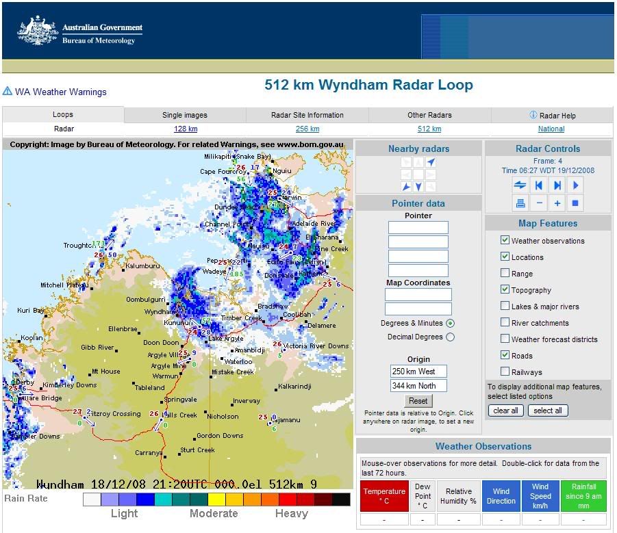
Tropical low sitting near NT/WA border is expected to develop into a cyclone overnight.
|
|
#8
19th December 2008, 05:18 AM
|
|||
|
|||
|
Category 1 TC Billy has formed overnight, but it looks like it might have a fairly short life, with its track predicted to cross land fairly quickly. Current models suggest it will become a Tropical Low within 36 hours.
http://www.bom.gov.au/products/IDD65011.shtml
|
|
#9
19th December 2008, 07:39 AM
|
||||
|
||||
|
Quote:
__________________
Click Here to view my aircraft photos at JetPhotos.Net! http://www.jetphotos.net/showphotos.php?userid=30538
|
|
#10
19th December 2008, 01:24 PM
|
|||
|
|||
|
Ah, the memories!
And to think I was foolhardy enough to spend years flying in that area without GPS and Weather Radar. And my trusty ADF attracted to storm cells and not an NDB or radio station. But I loved every minute of the challenge.......
__________________
As hopeless as a Twin Comanche on one engine.
|
 |
|
|


 Linear Mode

